UN
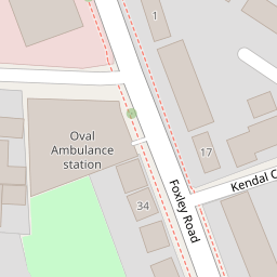
8 Kendal Close
£ 235,000
Description
We don't have a Description for this property.
- Bedrooms
- 2
- Bathrooms
- 0

Leaflet © OpenStreetMap contributors
The heatmap indicates the level of crime in the area. The color of the heatmap indicates the crime severity and recency.
Metrics Year-on-Year
- Average area value
- 673,178.00 £Decreased by 14.90 %
- Average area rental value
- 2,136.00 £/moIncreased by 3.84 %
- Est rental Yield
- 3.81 %Increased by 22.12 %
- Crime Rate
- 3.00 %Unchanged by 0.00 %
from 791,080.00 £
from 2,057.00 £/mo
from 3.12 %
from 3.00 %
Nearby Schools
| Name | Type | Ofsted | Distance |
|---|---|---|---|
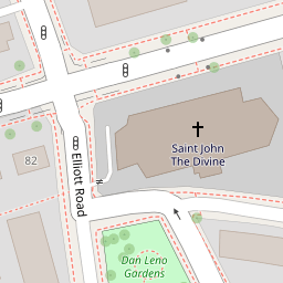
| St John The Divine Church Of England Primary School | Voluntary Aided School | Good | 0.28 KM |
| Christ Church Primary Sw9 | Voluntary Aided School | Good | 0.35 KM |
| Kennington Park Academy | Academy Alternative Provision Converter | Good | 0.45 KM |
| Saint Gabriel'S College | Voluntary Aided School | Good | 0.52 KM |
| Highshore School | Community Special School | Good | 0.54 KM |
Images
Nearby Streets
| Name | Average Price | Average Sqft | Distance |
|---|---|---|---|
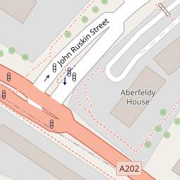
| John Ruskin Street | £ 0 | 0 | 0.00 KM |
| Elliott Road | £ 0 | 0 | 0.00 KM |
| Cranmer Road | £ 825,000 | 0 | 0.00 KM |
| Bolton Crescent | £ 515,000 | 0 | 0.00 KM |
| St. Agnes Place | £ 0 | 0 | 0.00 KM |
Nearby Transport
| Name | NLC | TLC | Distance |
|---|---|---|---|
| Loughborough Junction | 5082 | LGJ | 1.45 KM |
| Elephant And Castle | 5246 | EPH | 1.89 KM |
| Brixton | 5081 | BRX | 1.93 KM |
| Vauxhall | 5597 | VXH | 2.02 KM |
| Denmark Hill | 5421 | DMK | 2.20 KM |
Nearby Listings
| Address | Price | Type | Score | Distance |
|---|---|---|---|---|
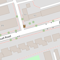
| 113c Vassall Road, London | £ 349,950 | BUY | Unknown | 0.08 KM |
| Foxley Road, London, SW9 | £ 375,000 | BUY | Unknown | 0.09 KM |
| John Ruskin Street, London, SE5 | £ 300,000 | BUY | Unknown | 0.12 KM |
| Camberwell New Road, London, SE5 | £ 200,000 | BUY | 4 / 10 | 0.14 KM |
| Foxley Road, London, SW9 | £ 1,000,000 | BUY | Unknown | 0.17 KM |
Nearby Properties
| Address | Price | Distance |
|---|---|---|
| 21 Kendal Close | £ 725,050 | 0.00 KM |
| 8 Kendal Close | £ 235,000 | 0.00 KM |
| 9 Kendal Close | £ 330,000 | 0.00 KM |
| 26 Kendal Close | £ 320,000 | 0.00 KM |
| 15 Kendal Close | £ 505,000 | 0.00 KM |